Mapping
"Teachers need to integrate technology seamlessly into the curriculum instead of viewing it as an add-on, an afterthought, or an event."
- Heidi Hayes-Jacobs
Google Map of the Lost Boys' Journey to America
View The Journey of the Lost Boys in a larger map
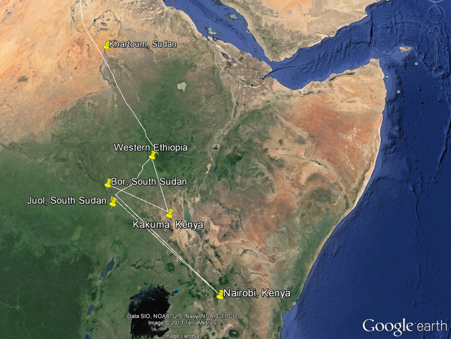
Google Earth Map of the Sudan region
Reflection
I really loved learning about all the different tools associated with mapping. What a useful tool for everyone. I loved hearing about how my classmates were choosing to use it. For example, Jen R. used it to map all the hikes she went on this summer. What a cool visual record of that accomplishment! I chose to use to for my unit to show the long journey that the Lost Boys of Sudan endured. Looking at this information in a map, like Google Maps, really has an impact rather than simply talking about it. I think students at the middle level will definitely like using tools for mapping because the exercise is interactive and the visual really stands out, as opposed to looking at a stagnant map of a particular region or area.
I found Google Maps to be very easy to navigate. I think it might take a couple of class periods to teach this tool in order for students to get the hang of it. On the other hand, I found Google Earth to be less user friendly and I got stuck several places along the way. For example, trying to pinpoint the exact locations of the Lost Boys' journey proved to be difficult for me and very time-consuming. I will definitely keep this in mind when determining which tool to use in the classroom. However, I can see this tool being useful for many social studies subjects, such as mapping out Civil War battles and world population. I believe this tool will greatly enhance learning for those students who are visual learners.
Mapping falls into the applying level of Bloom's Taxonomy because students are manipulating applications (maps) to reach their goal of visually demonstrating information.
